Fourth Graders Map Every Tree on Their Block
What started as a math project became the city's most accurate green-space census.
By Maya Okonkwo · Field editor
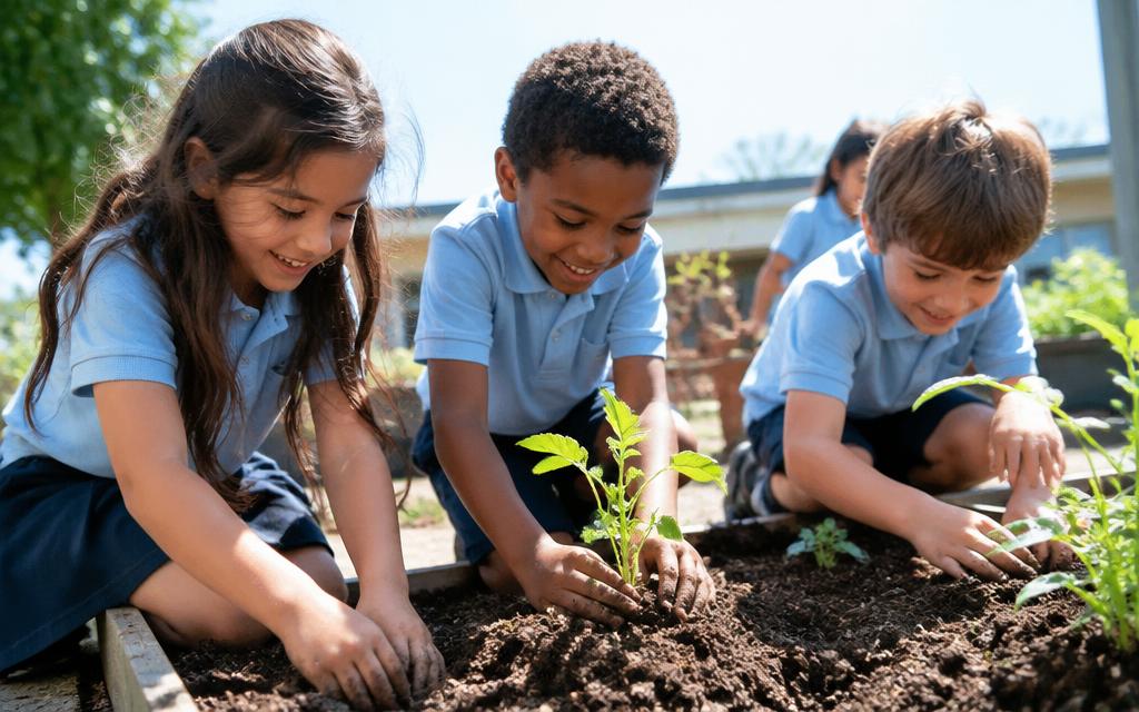
Ms. Ferreira wanted her fourth graders to practice measurement. She sent them outside with string, a worksheet, and instructions to find the fattest tree on the block.
They found 214 trees. They also found that eleven of them were dead, four were species the city's official inventory did not list, and one was a mulberry the records had marked as removed in 1998.
The class typed everything up. A parent forwarded the spreadsheet to the parks department, mostly as a joke. The parks department asked for the raw data.
Three neighboring schools have since run the same survey. The children's combined census is now the most current tree map the city has, and the dead eleven have been replaced.